Great North VT Adventure: Part 2 (Marshfield to Lincoln Gap)
October 02, 2022
Meg and I once again completed our longest self-supported bike tour yet: seven days of dirt roads, singletrack, surprisingly nice Vermont corner stores, and Heady Topper. I'm dividing this journey into seven posts, one for each day. This is day 2.
If you somehow missed my post for day 1, check it out here:

Return to the Old Railroad Bed
Meg and I wake up at 5:30 to a crisp, cool, classic Fall morning. Our route begins with an "easy" connector over a half mile of campground trails to the same Old Railroad Bed trail we used yesterday.
The campground map helpfully shows "biking & walking trails" to the east. But there's a whole mishmash of trails between us and the Old Railroad Bed. We hit the first trail intersection, and we pause. The signs indicate that one way sends us to the meadow. The other way sends us to... some other landmark. Which one leads to the Old Railroad Bed, again? I pick a random direction that moves us vaguely east.
The "random direction" strategy pans out, until we end up on some steep, narrow trails that we can't ride on any more. Naturally, I'm elected scout for the group, and I run ahead. A couple of wrong turns and some jogging later, I pathfind us to the Old Railroad Bed. Soon enough, we're enjoying our first country store cider donut of the day on the intended trail.

Today's section of the Old Railroad Bed turns out to be a little rougher than yesterday's. But any time you're on level-ish ground away from the tyranny of wheels is a good time to me. It's a muddy, tree-y, rocky good time.

The Unexpected Burrito
We make speedy progress down the rail trail, so it isn't long before we cruise our way to what seems like the end of the rail trail. The return to civilization and paved roads disappoints us for a hot second... but the Black Lotus Kitchen soon lifts our spirits. Seriously, this food truck is run by possibly the most friendly guy I've ever met. He was more than happy to drip maple syrup right into our coffee as he fried up an incredible breakfast burrito with local ingredients. First chance we get, we're trying lunch and dinner here.

With bellies full of coffee and burrito, we briefly cruise down 2 to meet up with the rail trail yet again. This section has received a bit more love in recent years -- in one washed-out section of forest, the caretakers have even gone to the trouble of building a loopy detour, complete with fresh gravel and guard rails. Fancy!
The Phantom Trail
But all good things must come to an end, so before long we return to 2. It's... fine. The shoulder is big and it doesn't crumble beneath our tires, so I'll call it a win. The cars speed by loudly, but there aren't too many. The scenery is pleasant. We typically route away from major roads like this, but they're sometimes a necessary evil to connect things. And with thousands of feet and dozens of miles to go, we probably shouldn't take on any more miles or hills.
Given my assumption that we'll have to ride this road all the way into Montpelier, I'm dumbstruck when we notice what looks like a bike path popping out of the trees along the shoulder of the road. Like any misguided bicycle tourist, I have no choice but investigation of where this mysterious path leads. After all, it sort of looks like it's going in the right direction. My intuition was correct (ish) in the forest this morning. What's the worst that can happen?

So we hop on the bike path. It leads to an absolutely beautiful, brand-spanking-new bicycle bridge that claims to be a bicycle path leading right into Montpelier, a new stretch of the XVT!

We excitedly snap some photos on the bridge, and head up the hill on the path, which quickly turns into dirt...
... which swiftly turns into rutted mud...
... which abruptly stops in a drainage ditch, and a series of trees marked as a future route for the XVT. Nuts.

So we backtrack to the bridge, which connects to a dirt road which looks like it leads into Montpelier. And then we notice XVT signs! Hurrah, we're saved! It turns out that the bridge got us to the opposite site of the river, where the XVT currently runs. That dirt road turns into a bike path closer to Montpelier, which led right to the Capitol and a very cute downtown grid.
Forbidden Peanut Butter at The Capitol

A quick stop to chat with some other bicycle tourists (good luck on your trip to Boston, NYC, and Washington, DC!), and it's time to grab second breakfast.

I enjoy a croissant with bacon, apple slices, and peanut butter. Meg looks at me with sheer terror. Despite their controversial sandwich choices, Capitol Grounds makes a solid espresso. They rank among my favorite coffee shops of the trip. And in Vermont, there's steep competition.
Overall, Montpelier really impressed me. I imagined it to be a much larger city, but it turns out it's just a big-ish town with a nice dense multiuse downtown. Looks straight out of Europe, or England at least. Lots of brick buildings, taverns, bridges, a train right through town, and tons of people riding around on bikes. It's rare to visit any place in the USA where I feel like I could live without a car, but Montpelier ranks high on that scale. Very close to Fort Collins, another town I've raved about on this blog after a biking trip.
Natural Burials are Legal in Vermont
We cruise out of Montpelier past the gorgeous Green Mount Cemetery (only $1200 for a natural summer burial!), and quickly turn onto some classic VT dirt roads.


Dirt Roads, Spooky Barks, and Trucking Nuts
The foliage is once again smashing, and despite the slow incline into the mountains, Meg and I have a great time. Until we hear the sound every bicyclist fears: a barking dog, just around the corner. 99% of the time, it's no problem -- between invisible fences and mitigating tactics, you can usually cope with a dog. But our hackles have been successfully raised. Until we round the corner, to be greeted with... a big, fluffy, drooly, silly, dopey golden retriever. Whew!

Continuing down (or rather, up -- it's quite the grade at times) the road, we only see one other group of human beings: a gaggle of hunters that literally attached a set of deer testicles to their truck as a bizarre reinterpretation of truck nutz.
One wrong turn later, we end up in some kind of bizarre Breaking Bad drug deal set, complete with a completely trashed abandoned car. A quick check of the map, and we discover that we should have "stayed" on the main road a quarter mile or so back.

Class 4: What was Class 3, Again?
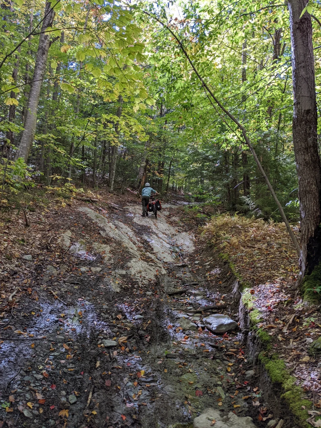
A speedy backtrack later, and we find ourselves on a classic VT class 4 road: giant puddles of mud, enormous swathes of exposed raw rock, downed chunks of trees, and rocks that could be described more as boulders than baby heads. It was brilliant.


A small amount of uphill later, we pass through the notch of the hill. Then it's downhill, which turns out to be even harder than uphill on this terrain, since you need to constantly brake before you... break.

Not to be Confused with Mad TacoS
Then it's an abrupt transition from class 4 offroading back to a completely normal road, another ascent, and our first sweeping views of the Mad River Valley, all the way to Sugarbush (close to Lincoln Gap, our destination for the day). With the foliage just breaking into peak levels, it's absolutely rad. The dirt roads just keep ascending to breathtaking views, then descending back to another grueling hill climb. But hey, there's cows!

Soon, we're descending into Waitsfield, and our lunch spot is in view. Mad Taco does not disappoint, though I feel concerned that Mad Tacos near Cazenovia, NY might be in some dicey intellectual property space with these folks. But they have Hill Farmstead on draft and burritos, what's not to love?
Lawsons Loves Bicycles or Maybe Bicycles Love Lawsons
After Mad Taco, we haven't consumed quite enough calories to push our way over Lincoln Gap. So we do as any sane bicycle tourist would do -- we head over to Lawson's Finest Liquids for some additional carbs. Meg highly recommends their black IPA.


Lawsons has a lot of bicyclists. We had the good fortune to meet a (European?) couple staying in Warren who are almost done with the Gravel Growler bike route, which inspired this ride. We also meet a very enthusiastic guy who just bought a Salsa Journeyman, who had so many questions about bikepacking and bicycle touring that his mom literally had to drag him away from us. If you end up reading this post someday, I hope you end up buying that Swift Industries bag you wanted.
Warren
With the day officially crossing into "afternoon" territory, we trim a dirt road featuring a hill & a cow & a foliage view to keep ourselves on schedule. A quick ride down 100 takes us to Warren. We notice quite a few nature paths off the road, but we're on a schedule, dammit. If we don't get to the country store in time, they'll be all out of pastries for tomorrow's breakfast!
So we roll into Warren to load up at the country store. A bathroom break, a homemade mint chocolate chip ice cream sandwich, and some dinner & breakfast goods later, we snap a quick shot of the gorge, and head to Lincoln Gap. It's only a few miles to the campsite, how bad can it be?


Steep, Like Tea Bags
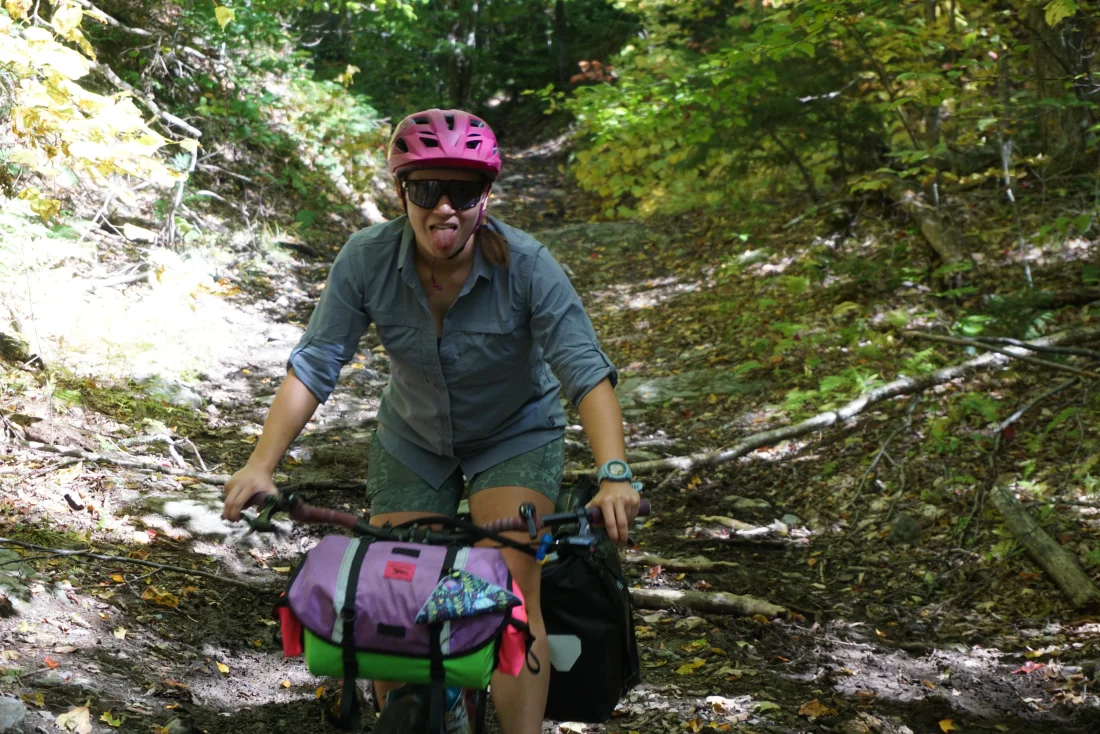
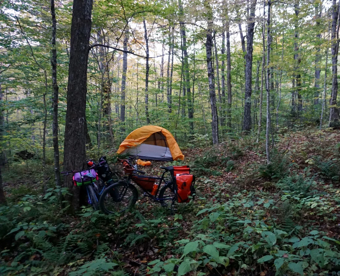
... MULTIPLE MILES OF GRUELING UPHILL 20%+ GRADE STRAIGHT INTO THE SKY LATER, we make it to the notch at the top of Lincoln Gap. It's beautiful! The setting sun really brings out the foliage, and we get our first glimpse of the Adirondacks. We get a small taste of tomorrow morning's descent, then pull off onto a side forest road for some primitive camping for the night.
A beer, a hummus wrap, and a beautiful sunset later, we're tired enough for an early sleep. We take advantage of the forest road to hang our bear bag a good distance from our campsite. With the ascent up Vermont's highest vehicle road behind us and a babbling brook in the near distance, sleep comes easy.

The Saga Continues
Check out part 3 (whenever I finish writing it -- maybe I already have?) at Day 3 (Lincoln Gap to Mount Philo).