Dillon Reservoir Loop, Mineral Belt Trail, and Mount Hope
June 20, 2021
This weekend, Meg and I mixed hiking and biking instead of just biking everywhere.

Dillon Reservoir Loop

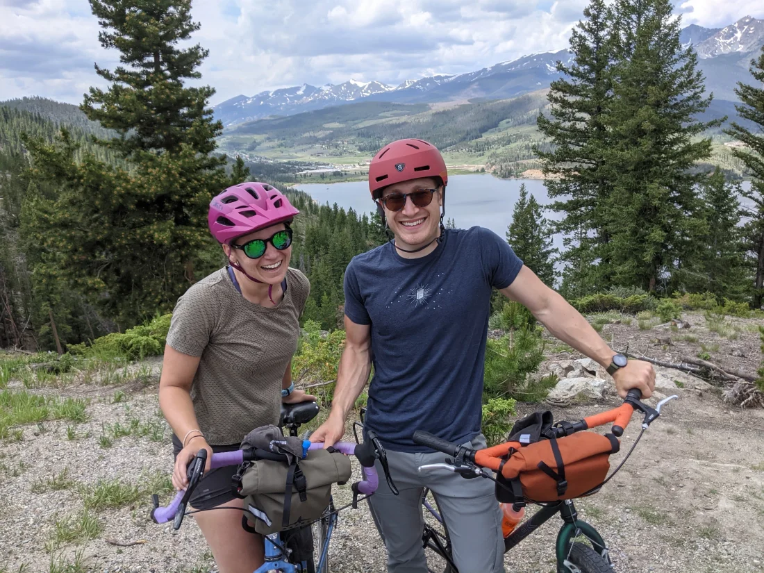
Our first stop was the Dillon Reservoir, where we enjoyed a quick coffee and a mostly relaxing 18-ish mile ride. The Dillon Reservoir Loop is a (mostly offroad) trail that encircles the entirety of Dillon Reservoir, passing through Dillon, Frisco, and Silverthorne. Except for a 2-3 mile hill ascent along a road, the entire loop is bike and pedestrian trail. Overall impression: it's a nice trail. It crosses too many roads (particularly for a trail that enscribes a reservoir -- why are there so many roads between the trail and the reservoir‽). There are a lot of clueless e-bike riders on it that do annoying things like pass you on the right without announcing themselves, or stop right in the middle of the trail to take pictures. The biggest hill in the whole loop is also the only section that isn't a dedicated bike trail, so you get to enjoy the delightful intersection of 7% grades alongside trucks and cars and SUVs blasting right past your 2-foot bike path on the shoulder. But... it's a beautiful trail. It's well-maintained. The views around the reservoir are breathtaking. And it's mostly quiet and car-free. So I'd recommend it only on weekdays and early weekend mornings.

Mineral Belt Trail

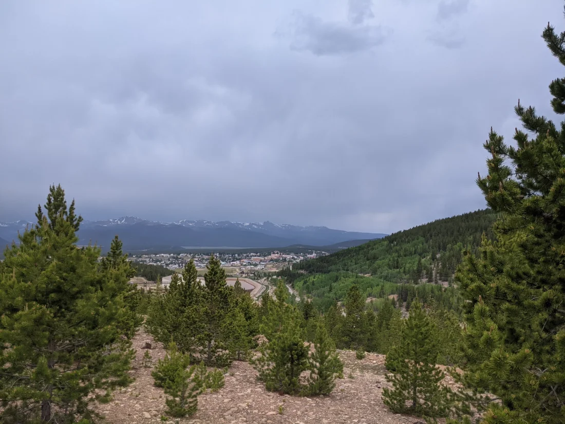
The Mineral Belt Trail is an 11.4 mile loop that starts in Leadville, winds up into the surrounding foothills through some historic silver mines, and finally returns back to civilization. It took up a small chunk of the afternoon after looping around Dillon Reservoir and having lunch in Leadville. The Mineral Belt Trail is less populated, better maintained (it's extremely smooth pavement, with basically no breakages anywhere), has just as pleasant (if different) views as the Dillon Reservoir Loop... and it's full of plaques bearing fun historic facts about mining in Leadville. There's a gradual but long hill as you leave Leadville, but also a ton of fun downhill action for several miles as you head into town. Overall my biggest complaint about the Mineral Belt Trail is that it's just too short -- 11.4 miles of pleasant riding goes by really quickly.
Mount Hope


Mount Hope is the third almost-14er (that's "not quite 14,000 feet tall" for those of you who aren't familiar with Colorado slang) that Meg and I have summited. We specifically picked out this hike because it's near a huge selection of dispersed camping sites, it involves a rocky ridge hike with lots of scrambling opportunities, and it's not a very popular hike, so we can actually enjoy nature instead of dealing with people.
 would appreciate](https://raw.githubusercontent.com/nathan-contino/images/main/thumbnails/images/june_20_trip/flower.webp)

The initial portion of the hike was really steep (which makes sense -- the ascent was only 3.7 miles total, but took us from ~10,000 feet all the way to ~14,000 feet!), but really unique in Colorado thanks to some VERY green and very wet forest at the base of the mountain.


Our hard work paid off as we passed the treeline around the midpoint of the hike, and we were treated to some spectacular views of the many 14ers nearby.


Once we hit the ridge, the view opened up even more, and we could see Leadville, Twin Lakes, Turquoise Lake, and basically the entire loop that we biked a couple of weeks ago.


The ridge itself was some serious rock scrambling, with almost no path whatsoever. After a few tricky spots and quite a few water breaks, we reached the top, where we finally got to see 360-degree views of the surrounding landscape.


The hike down the ridge was the trickiest part of the hike, but we managed to make it down without incident. Lots of loose rocks and tricky spots, but by keeping our pace slow and taking our time, we managed it. Special shoutout to the spiders who occasionally set up their webs in the PERFECT spots to descend, forcing me to reroute.

Conclusion
Overall, another solid weekend. The mountains were a fantastic opportunity to beat the record heat wave that we're currently experiencing in Colorado. It was nice to get back into hiking, even if it turns out that 4 miles of hiking is more stressful on your muscles than 60 miles of biking.
